Banff Maps and Orientation
(Banff, Alberta - AB, Canada)
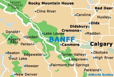
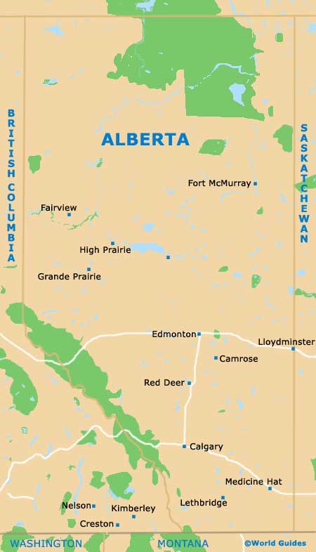
Located within the Canadian province of Alberta and on the south-western side of Canada, the Banff townsite is especially close to
Calgary,
Lake Louise and
Jasper, the latter of which can be reached in around 90 minutes by using the Trans-Canada Highway. The Banff National Park is also close by and to the north, being well connected by regular buses and coach trips.
Although Banff is really quite small and home to less than 10,000 residents, it is actually the biggest townsite within the Banff National Park region and its thriving tourist industry attracts literally thousands of seasonal visitors. Nearby attractions include the Canadian Rockies and the many mountains of the National Park, which include Mount Norquay, Mount Rundle and also the Sulphur Mountain.
Maps and Orientation of the City
Those coming to Banff for its superb winter skiing will find a number of ski resorts close by, such as both Ski Norway (on Mount Norquay) and the ever-popular Sunshine Village (comprising Goat's Eye Mountain, Lookout Mountain and Mount Standish).
Within the park itself, two highways stand out and offer splendid panoramas - the Bow Valley Parkway and the Icefields Parkway, both of which are surrounded by everything from mountains and waterfalls, to canyons and glaciers. Maps of the region are best obtained from the official Banff Information Center, which is located on Banff Avenue and is easy to find.
Map of Canada

Map of Alberta
Map of Banff