Novosibirsk Maps and Orientation
(Novosibirsk, Siberia, Russia)
Established in 1893 and located within the region known as Novosibirsk Oblast, the city of Novosibirsk has grown to become the biggest in terms of size and population in the whole of Siberia. Novosibirsk is also amongst the largest in the whole of the Russian Federation, ranking as number three, after
Moscow and
St. Petersburg.
Novosibirsk boasts a population of around one and a half million residents and has grown up around the Ob River, gaining considerable status following the introduction of a famous Turkestan Siberia Railway in the early part of the 1900s.
Maps and Orientation of the City
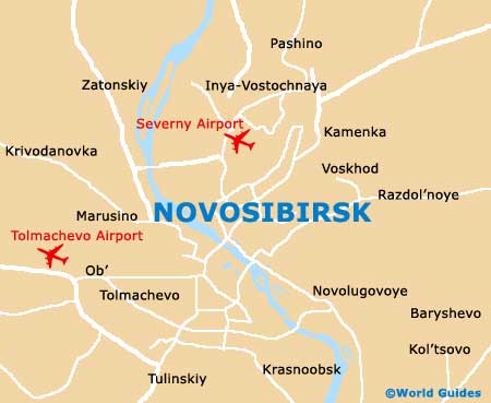
For many, finding your way around Novosibirsk can be a little daunting, although the actual city centre is really quite manageable and laid out in an organised fashion, being based around the Ploshchad Lenina. The main thoroughfare in Novosibirsk is the Krasny Prospekt, with intersects the Ploshchad Lenina and connects a number of the most popular sights.
Those looking for a map of Novosibirsk should head to one of the numerous travel agencies within the city. These include the Altair on the Ulitsa Sovetskaya, the Sibalp on the Prospekt Karla Marksa, the Sibir Altai on the Ulitsa Frunze, the STA-Novosibirsk on the Ulitsa Oktyabrskaya, and the both the Zhemchuzhina Altaya and the Acris, on the Krasny Prospekt itself.
- Anzhero Sudzhensk - north-east
- Barnaul - south
- Berdsk - south
- Iskitim - south
- Kemerovo - east
- Kuybyshev - north-west
- Leninsk Kuznetskiy - east
- Tomsk - north-east
- Yurga - north-east
Map of Russia

Map of Novosibirsk