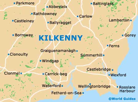
Kilkenny Maps and Orientation
(Kilkenny, Republic of Ireland)
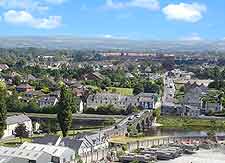
Kilkenny is a compact city, with its medieval quarter and heritage buildings concentrated in a relatively small and easy to locate area. Basic tourist maps showing local sites of interest are available at the front desk of most hotels, as well as at the Shee Alms House tourist office on St. Mary's Lane.
Touring County Leinster with Kilkenny as your base is a great way to get a feel of the rich cultural heritage in this part of
Ireland. Many tourists choose to visit nearby towns, such as medieval Gowran or Bennetsbridge, named for its ancient stone bridge and a historic town in its own right.
Maps and Orientation of the City
The famous 12th-century Kells Monastery, a short drive south of Kilkenny, is easily reached by a direct road, but for less well-known destinations and the searching out of charming villages in which to have lunch, a county map is the best idea.
- Bennetsbridge - 44 km / 27 miles (38 minutes, north-east)
- Dublin - 101 km / 63 miles (one hour and 30 minutes, north-east)
- Kells - 13 km / 7 miles (10 minutes, south)
- Freshford - 15 km / 8 miles (15 minutes, north-west)
- Gowran - 16 km / 9 miles (20 minutes, south-east)
- Thomastown - 18 km / 11 miles (20 minutes, south-east)
- Tullaherin - 13 km / 8 miles (15 minutes, south-east)
- Waterford - 50 km / 31 miles (40 minutes, south)
- Wexford - 78 km / 48 miles (one hour and ten minutes, south-east)
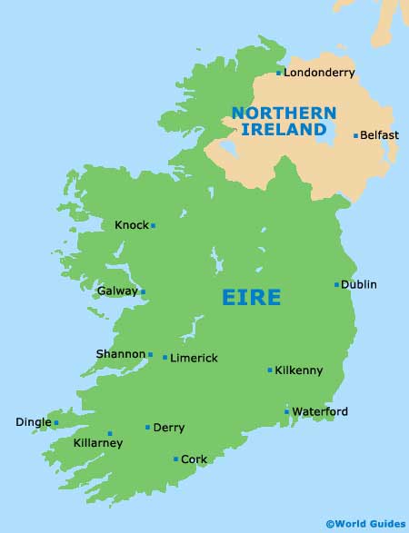
Map of the United Kingdom

Map of Ireland
Map of Kilkenny