Helsinki Maps and Orientation
(Helsinki, Uusimaa, Southern Finland, Finland)
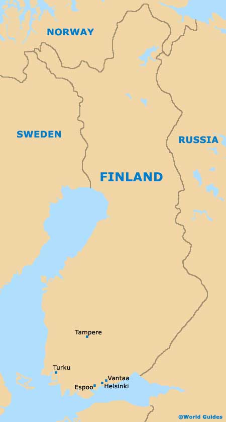
The Finnish city of Helsinki lies in the Uusimaa area and on the southern side of Finland. Helsinki has grown to become the biggest city in the whole of Finland and has long been the capital.
Helsinki enjoys a scenic setting and is located next to the coastline of the Gulf of Finland and the Baltic Sea. The population of Helsinki is rapidly approaching 600,000 inhabitants, although the greater capital area is home to well over one million and this region also includes the adjacent cities of both Espoo and
Vantaa.
Maps and Orientation of the City
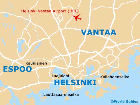
The Helsinki area incorporates a series of appealing peninsulas, natural bays and small islands. Often known as Vironniemi, the inner city area of Helsinki is to be found on a southerly peninsula and is brimming with interest. Close by, many of the surrounding suburbs are divided by important green spaces and heavily wooded areas, including the Helsinki Central Park, a popular area for recreation.
Although this is a busy capital city, the overall population density remains fairly low and spread out. This makes Helsinki a particularly pleasant city to explore and those wishing to visit the following cities and towns would be advised to use a map and not rely solely on road signage.
- Espoo - west
- Järvanpää - north-east
- Kerava - north-east
- Lahela - north
- Lapinkylä - north
- Myllykylä - north
- Nurmijarvi - north-west
- Nybygget - north-east
- Ostersundom - north-east
- Turunväylä - west
- Tuusula - north
- Vantaa - north-east
- Vestra - north-west
Map of Finland
Map of Helsinki