Tallinn Maps and Orientation
(Tallinn, Harjumaa, Estonia)
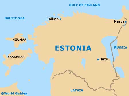
Located on Estonia's northerly shore, the city of Tallinn is home to a significant seaport and lively centre. Tallinn lies alongside the scenic Gulf of Finland and slightly to the north of central Estonia, within the county of Harju.
Tallinn is an unusual city, since is does not feature a large and central river. Instead, the only notable river in Tallinn can be found within the suburban area of Pirita, a particularly beautiful area, which is known for its natural scenery.
Maps and Orientation of the City
An eye-catching limestone cliff is a major local landmark and runs through much of Tallinn, forming a series of hills, including those at Toompea. The city obtains the majority of its drinking water from Lake Ülemiste, which is the biggest lake close to Tallinn and is situated directly western of the airport. Aircraft arriving and departing at Tallinn Airport offers excellent views of Lake Ülemiste and its surrounding scenery.
Tallinn is home to a population now exceeding 400,000 and is split into a total of eight administrative districts, as follows: Haabersti, Kesklinn, Kristiine, Lasnamäe, Mustamäe, Nomme, Pirita and also Pohja-Tallinn. Close to Tallinn, the towns shown below are easy to reach by car or public transport.
- Harku - west
- Kose - north-east
- Laabi - west
- Lilleküla - west
- Luige - south
- Maardu - north-east
- Muuga - north-east
- Nomme - south-west
- Oismäe - west
- Peetri - south
- Pirita - north-east
- Pohja-Tallinn - west
- Raudalu - south
Map of Estonia
Map of Tallinn

