Can Tho Maps and Orientation
(Can Tho, Mekong Delta, Vietnam)
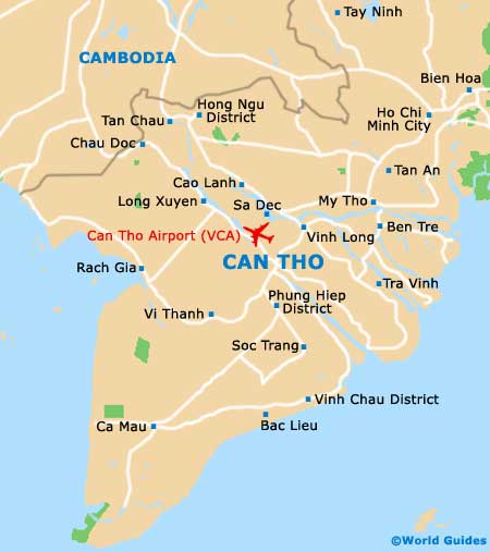
Can Tho resides in the middle of the Mekong Delta, roughly 100 kilometres / 62 miles to the south-west of Ho Chi Minh City. It is the main town in the Delta region and is the country's third largest. Sandwiching Can Tho are five provinces - An Giang (north), Hau Giang (south), Vinh Long (east), Dong Thap (north-east) and Kien Giang (west).
The city exists amid a complex of rivers and canals, and is split into administrative units. You can pick up good city maps from the Can Tho Tourist Information office on the riverfront D Hai Ba Trung, for a small charge.
Maps and Orientation of the City
Can Tho sits at the crux of three rivers - the Mekong, the Can Tho and the Bassac rivers. It sits on the junction of all three and is just a few kilometres across, despite being one of Vietnam's largest cities. Major streets are the Hoa Binh and the Nguyen Trai, both going through the city centre.
Ninh Kieu is the main part of the city, being the downtown and riverside area, and it is here where most of the attractions are based.
- Ben Tre - 69 km / 43 miles (one hour and ten minutes, north-east)
- Cao Lanh - 60 km / 37 miles (one hour, north)
- Chau Doc - 120 km / 74 miles (two hours and 45 minutes, north-west)
- Ho Chi Minh City - 172 km / 107 miles (four hours, north-east)
- My Tho - 90 km / 56 miles (one hour and 45 minutes, north-east)
- Sa Dec - 38 km / 24 miles (40 minutes, north)
- Soc Trang - 65 km / 40 miles (one hour, south)
- Tra Vinh - 101 km / 63 miles (one hour and 55 minutes, east)
- Vinh Long - 41 km / 25 miles (45 minutes, north-east)
- Vung Tau - 287 km / 179 miles (five hours and 15 minutes, east)
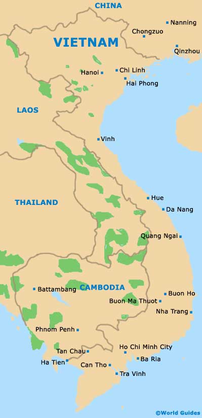
Map of Vietnam
Map of Can Tho