Kuantan Maps and Orientation
(Kuantan, Pahang, Malaysia)
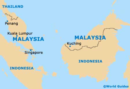
The capital city of Malaysia's Pahang State, Kuantan sits on the coast of the South China Sea at the mouth of the Kuantan River. Located midway between Kota Bharu and
Singapore, the area comprises vast tracts of rainforest, highlands and coastal areas.
The Cameron Highlands lie to the west of the region and to the north is the world's oldest rainforest, the Taman Negara, dating back 130 million years and now a national park. The rainforest covers almost two-thirds of the Pahang State, and offshore from Kuantan are many beautiful islands. For the most detailed maps, the best options are the local tourist office or car hire company.
Maps and Orientation of the City
Kuantan is the economic, cultural and commercial hub of Pahang state due to its location on the coastline and its active port. The central business district lies downtown along the Jalan Tun Ismail, with the majority of hotels being situated on the beachfront or in the centre, close to the river banks.
Most sites of interest are also in the downtown area, within an easy walk of each other. Between the edge of the city and nearby Pekan is a relatively new industrial and manufacturing district.
- Chini - 93 km / 58 miles (one hour and 30 minutes, south-west)
- Gading Jaya - 19 km / 12 miles (25 minutes, west)
- Gambang - 30 km / 19 miles (35 minutes, west)
- Kampung Baharu - 17 km / 11 miles (25 minutes, south-west)
- Kuala Lumpur - 354 km / 221 miles (three hours and 15 minutes, west)
- Kuala Pahang - 61 km / 38 miles (one hour and 20 minutes, south)
- Maran - 86 km / 54 miles (one hour and 15 minutes, west)
- Pekan - 55 km / 34 miles (one hour, south)
- Sungei Lembing - 29 km / 18 miles (45 minutes, west)
- Taman Negara - 222 km / 139 miles (three hours and 15 minutes, north-west)
Map of Malaysia
Map of Kuantan

