Albany Maps and Orientation
(Albany, New York - NY, USA)
Not only is the city of Albany the capital of New York State, but it also serves as the seat of Albany County. The city has a population currently in the region of 100,000 people, while the expansive metropolitan area boasts a population now exceeding 900,000 residents.
Albany resides on the eastern side of New York State, on the far northeastern side of North America.
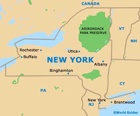
New York city itself is to be found approximately 150 miles / 241 km to the south, where it has grown up around the famous Hudson River estuary.
The Hudson River is also a significant part of life in Albany, bounding the eastern side of the city. Other borders include Colonie and Westmere (northwest), Menands (north), Guilderland and Delmar (west), and Bethlehem (south).
Maps and Orientation of the City
Albany features a number of large parks, four lakes (the Buckingham, the Rensselaer, the Tivoli and the Washington Park lakes) and a vast expanse of historic pine bush. However, most visitors are drawn to the modern skyscrapers and important government buildings dotted around the vast Empire State Plaza, which is rather dominated by the sleek Erastus Corning Tower.
There are more than 20 significant neighborhoods making up the city of Albany, generally shown on most detailed city maps. The most important of these include Arbor Hill, Center Square, Helderberg, Delaware, Hudson, Melrose and Pine Hills. The South End neighborhood is also of note, being where you will find Krank Park, the Mansion District and Second Avenue, while several prestigious colleges reside in the neighborhood of University Heights.
- Amsterdam - northwest
- Bennington, Vermont (VT) - northeast
- Colonie - northwest
- Delmar - southwest
- East Greenbush - southeast
- Kingston - southwest
- Latham - north
- Loudonville - north
- Pittsfield, Massachusetts (MA )- southeast
- Poughkeepsie - south
- Saratoga Springs - north
- Schenectady - northwest
- Troy - east
- Westmere - west
- Wynantskill - northeast
Map of USA
Map of New York State
Map of Albany
