Lisbon Maps and Orientation
(Lisbon, Portugal)
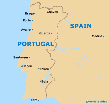
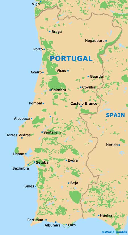
The Portuguese city of Lisbon lies on the western side of the country and next to the coastline of the Atlantic. Portugal's capital city, Lisbon is also the biggest city within the country and home to a population rapidly approaching 600,000 people.
With over three million inhabitants, the greater Lisbon Metropolitan Area covers a vast area and incorporates a series of suburbs, towns and municipalities. The largest and most significant of these include Almada, Loures, Oeiras, Seixal, Setúbal, Sintra and Vila Franca de Xira.
Maps and Orientation of the City
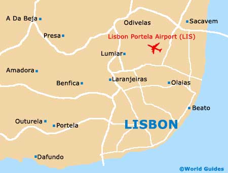
The very boundaries of Lisbon are unusual in that they are clearly defined and form a boundary around the perimeter of the historic city itself. Many cities lie adjacent to Lisbon, such as Amadora, Odivelas and Oeiras.
On the western side of the city, the expansive Monsanto Forest Park forms an attractive green boundary and is amongst the biggest parks of its kind in the whole of Europe. The following towns and locations are close to Lisbon.
- Almada - south
- Amadora - north-west
- Amora - south
- Casal Do Sapo - south
- Cascais - west
- Loures - north
- Mafra - north-west
- Moita - south-east
- Montijo - east
- Odivelas - north
- Oeiras - west
- Palmela - south-east
- Seixal - south
- Sesimbra - south
- Sintra - north-west
Map of Portugal
Map of Lisbon