Albufeira Maps and Orientation
(Albufeira, Algarve, Portugal)
Albufeira lies in southern Portugal on the Algarve, at the heart of the country's most popular tourist resort. The countryside is hilly, and this stretch of coastline is dotted with expansive tracts of gold sand. Development in Albufeira has been intense since the 1950s, when some of the first British tourists ventured into the region. Today, the city's prime location, expansive beaches and natural harbour make it the leading tourist city in the area.
With so many outlying beaches and historic towns in the periphery of Albufeira, tourists will undoubtedly spend time exploring outside of the city centre. Maps are essential in this case, especially if you are planning to get around on your own in a hired car. You will find maps for sale in local gift shops and on news stands. Hotel front desks are also likely to have tourist maps on hand, free of charge.
Maps and Orientation of the City
Albufeira sprawls along the Atlantic, loosely following Latino Coelho, Bernardino Sousa and da Baeria avenues. The Avenue da Liberdade runs in the opposite direction, cutting cleanly through the city's dining and shopping district. The liveliest district in Albufeira lies to the east of this dividing line. Another important commercial drag is the Strip, which connects the Praia da Oura with Montechoro.
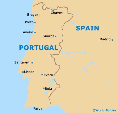
Portugal's south-west corner, the Cape of St. Vincent, lies to the west, while the Algarve's capital city of Faro is to the east. A few miles inland from the resorts and commercial districts of Albufeira is the A22 motorway, which is useful for connecting to cities all along Portugal's south coast. It eventually links up with the E-1 and approaches Seville. Opposite this, the A2 heads due north from the city.
- Cape of St. Vincent - 93 km / 58 miles (one hour and 25 minutes, west)
- Faro - 45 km / 28 miles (50 minutes, south-east)
- Lagoa - 29 km / 18 miles (35 minutes, west)
- Lagos - 55 km / 34 miles (one hour, west)
- Lisbon - 255 km / 160 miles (three hours, north)
- Portimao - 39 km / 24 miles (45 minutes, west)
- Silves - 32 km / 20 miles (35 minutes, north-west)
- Tavira - 69 km 43 miles (one hour and ten minutes, west)
Map of Portugal
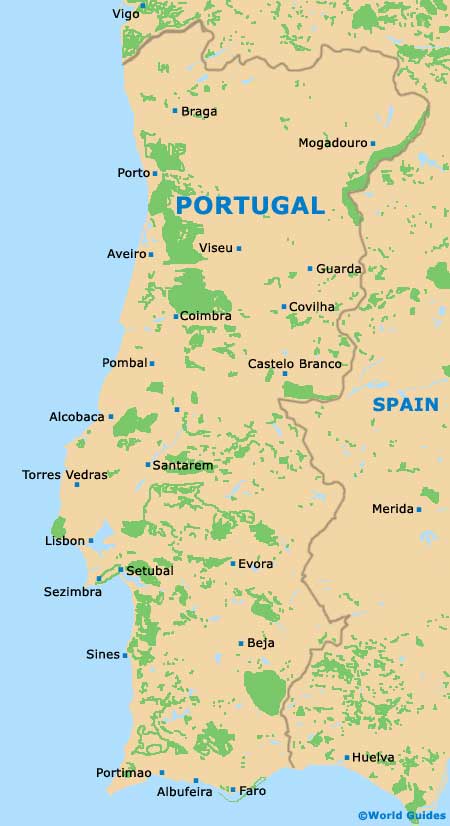
Map of Albufeira

