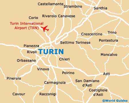
Turin Maps and Orientation
(Turin, Piedmont, Italy)
Capital of north-western Italy's beautiful Piedmont region, Turin is a large city and lies on the westerly side of the meandering Po River. Turin's population is quickly approaching the one million mark and as a result, many of the suburban areas have grown dramatically in recent years.
A large number of people arriving in Turin do so by train and the recently upgraded Statione Porta Susa is now the city's main station, followed by the Stazione Porta Nuova. The Corso Vittorio Emanuele II is a notable thoroughfare and a prominent route for both city buses and trams.
Maps and Orientation of the City
Turin's eye-catching Mole Antonelliana is hard to miss and dominates the eastern side of the city. The Piazza Vitorio Veneto is another prominent local landmark in Turin, along with the Murazzi del Po, a thriving district known for its nightlife and attractive riverside setting.
- Alessandria - 88 km / 55 miles (one hour and 15 minutes, east)
- Asti - 56 km / 35 miles (55 minutes, south-east)
- Grugliasco - 13 km / 8 miles (20 minutes, west)
- Milan - 136 km / 85 miles (one hour and 50 minutes, north-east)
- Moncalieri - 10 km / 6 miles (14 minutes, south)
- Montanaro - 30 km / 19 miles (30 minutes, north)
- Nichelino - 11 km / 7 miles (15 minutes, south-west)
- Novara - 93 km / 58 miles (one hour and 20 minutes, north-east)
- Pinerolo - 53 km / 33 miles (50 minutes, south-west)
- Pino Torinese - 8 km / 5 miles (12 minutes, south-east)
- San Mauro Torinese - 8 km / 5 miles (12 minutes, north-east)
- Santena - 22 km / 14 miles (25 minutes, south)
- Trofarello - 16 km / 10 miles (22 minutes, south)
- Vallera - 96 km / 60 miles (one hours and 25 minutes, east)
- Venaria Reale - 14 km / 9 miles (20 minutes, north-west)
Map of Italy

Map of Turin