Hai Phong Maps and Orientation
(Hai Phong, Vietnam)
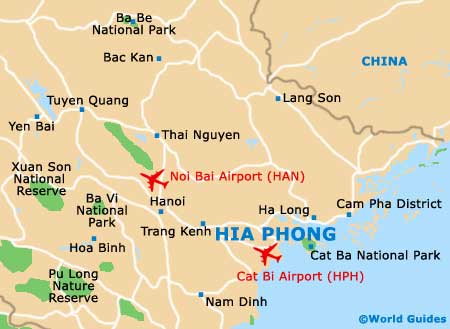
Hai Phong city, a fishing village until the very late 19th century, lies in a vast bay along the north-eastern coast of
Vietnam, not too far from the Chinese border. Five rivers flow through the city, the largest of which is the somewhat polluted Cam River. Hai Phong's massive port stretches out along the bay, while to the north of the city are mountains, plains and valleys. The southern areas comprise the river deltas, with the low-lying flat terrain subject to flooding in the wet season.
Backing the city towards the interior are more limestone peaks which provide the raw material for the city's cement industry. Detailed maps of the region are necessary if self-drive exploration is planned, especially for the more remote areas away from the coast.
Maps and Orientation of the City
The city itself spreads out in all directions, from its small and attractive colonial core to the industrial zones at its edges. The downtown area contains the highest number of hotels and other amenities, followed by the area around the southern port and the beaches farther to the south.
The island of Cat Ba is considered part of the city and holds many of the upscale tourist facilities and accommodation choices. Back from the beaches are also a few attractive hotels and interesting restaurants, with the main shopping areas residing in the centre. Tourist maps of the areas of interest are available from the tourist office or alternatively from hotel front desks.
- Ba Be - 318 km / 198 miles (four hours and 50 minutes, north)
- Cam Pha - 112 km / 70 miles (two hours and five minutes, east)
- Da Nang - 777 km / 485 miles (13 hours and 15 minutes, south)
- Ha Long - 61 km / 38 miles (one hour and ten minutes, east)
- Hanoi - 125 km / 78 miles (two hours, north-west)
- Hung Yen City - 87 km / 54 miles (one hour and 30 minutes, west)
- Phu Ly - 116 km / 72 miles (one hour and 55 minutes, west)
- Thai Nguyen - 170 km / 106 miles (two hours and 45 minutes, north-west)
- Thanh Hoa - 181 km / 112 miles (three hours and 15 minutes, south-west)
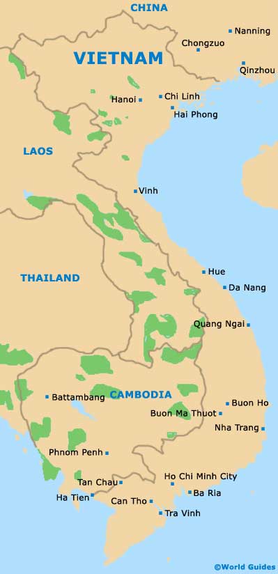
Map of Vietnam
Map of Hai Phong