Chiang Mai Maps and Orientation
(Chiang Mai, Thailand)
A large and popular city sited on the northern side of Thailand, Chiang Mai is without doubt the region's biggest and most notable location. Home to a population of around 165,000 and near to some of Thailand's tallest mountains, Chiang Mai has grown around the Ping River, which in turn joins the large Mae Nam Chao Phraya River. Chiang Mai is a rapidly expanding city and the metropolitan area itself contains more than 700,000 inhabitants.
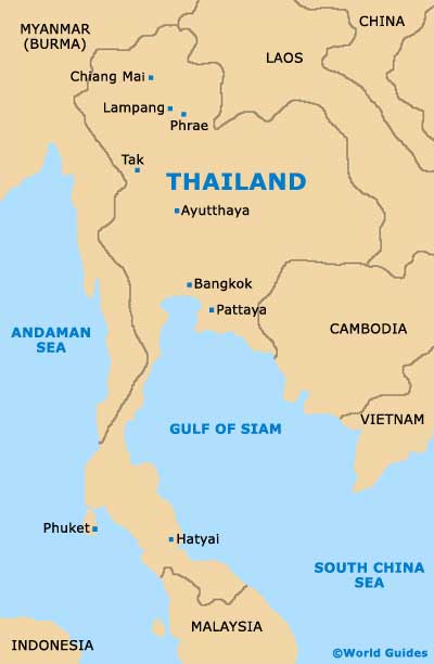
Chiang Mai is approximately 700 miles / 125 km to the north of Bangkok and whilst hardly in the same league, it does feature an appealing mixture of historic attractions and the feel of a modern city. Old Chiang Mai is full of tourist appeal and is neatly bounded by both partial walls and attractive moats.
Maps and Orientation of the City
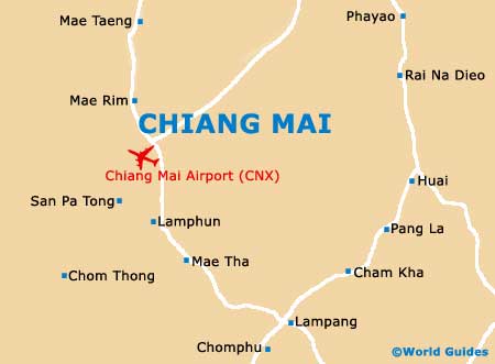
Visitors will find that Chiang Mai is particularly easy to find your way around, although a map is always a good investment. Most bookshops feature a selection of city maps, which detail the major points of interest within the city, together with the main shopping centres and other notable local landmarks. The Tourism Authority of Thailand (TAT), close to the Iron Bridge (Saphan Lek) is a good place to come for maps of Chiang Mai city.
- Chiang Rai - north-east
- Lampang - south-east
- Lamphun - south
- Li - south
- Mae Cha - west
- Mae La - south-west
- Mea Hong Son - north-west
- Nan - east
- Pang - south
- Phayao - north-east
- Tha Hin Som - west
- Toungoo - west
Map of Thailand
Map of Chiang Mai