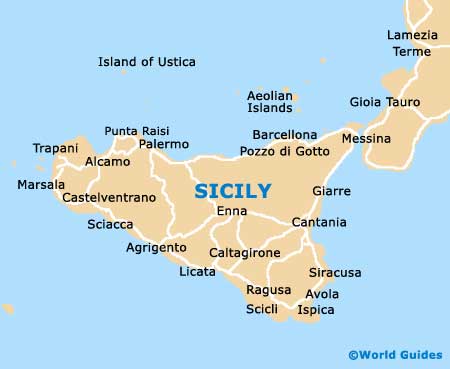
Sicily Maps and Orientation
(Sicily, Italy)
Sicily lies off the toe of the 'boot' of the Italian mainland, opposite North Africa, and is a land of high mountains, rugged coastlines and bustling cities. It is a good 300 km / 185 miles across, is surrounded by smaller islands and forms a major chunk out of Italy's 20 regions.
The Strait of Messina separate the island from Calabria, and although the northern region looks similar, Sicily is almost like another country. Detailed maps are available from outlets in Messina, the first major town you come to from the ferry.
Maps and Orientation of the Island
The island is mostly mountainous, with the loftiest terrain in the east the home of
Mount Etna. Coastal areas are predominantly rugged, while flat plains are found in the west and south-east. Major roads and rail routes go between the main centres.
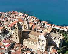
Sicily's main cities of Palermo, Catania, Syracuse and Messina are rambling and tough to negotiate by car. However, they have more compact centres which hold most of the sights, making getting about on foot with a map easier. If you can't get a Sicily map online, simply visit the tourist information outlets in any town.
From Palermo
- Agrigento - 127 km / 79 miles (two hours, south)
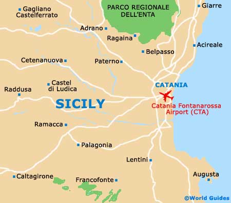
- Catania - 207 km / 128 miles (two hours and 15 minutes, south-east)
- Cefalu - 67 km / 42 miles (one hour, east)
- Messina - 223 km / 138 miles (two hours and 30 minutes, east)
- Mount Etna - 250 km / 155 miles (three hours, south-east)
From Messina
- Catania - 97 km / 60 miles (one hour and 15 minutes, south-west)
- Cefalu - 167 km / 104 miles (one hour and 45 minutes, west)
- Syracuse - 178 km / 110 miles (two hours and 10 minutes, south-west)
- Mount Etna - 106 km / 66 miles (one hour and 40 minutes, south-west)
From Syracuse
- Agrigento - 231 km / 143 miles (three hours, west)
- Catania - 83 km / 51 miles (one hour and 15 minutes, north)
- Mount Etna - 125 km / 77 miles (two hours and 10 minutes, north)
- Palermo - 276 km / 171 miles (three hours and 15 minutes, north-west)
- Siacca - 292 km / 181 miles (four hours, west)
Map of Italy

Map of Sicily
More information about
Palermo maps.
