Ipoh Maps and Orientation
(Ipoh, Perak, Malaysia)
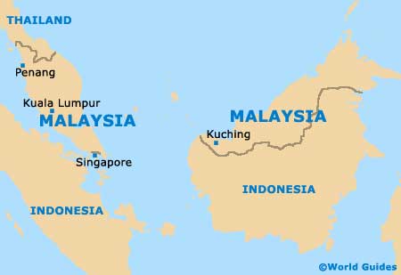
The city of Ipoh lies in the centre of Peninsular Malaysia, a long strip of land jutting out into the ocean and home to the country's capital,
Kuala Lumpur. The centre of the region is mountainous, with limestone outcrops, rainforests, lakes and rivers, with the coastal plains running to the sea on both sides.
An expressway runs north to south, giving access to the interior, Penang and Kuala Lumpur, and coastal roads run around the region. Touring the peninsula by car will require a detailed map of the area, easily downloaded from the Internet or picked up at Ipoh's tourist office on the Jalan Tun Sambathan, the train and bus stations, or from your hotel's front desk. Car rental companies should also be able to provide maps of the region.
Maps and Orientation of the City
Ipoh is set in the valley of the River Kinta, surrounded by high limestone hills and thick forests. The metropolitan area is divided by the Kinta River into the original colonial hub of the Old Town and the New Town's central commercial and suburban residential districts.
Almost all of Ipoh's attractions lie either in the Old Town or in the surrounding countryside, while hotels, restaurants and shopping centres are mostly based in the New Town's central commercial district.
- Batang Padang - 112 km / 70 miles (one hour and 35 minutes, south-south-east)
- Bukit Larut - 61 km / 38 miles (one hour, north-west)
- Georgetown - 158 km / 98 miles (one hour and 55 minutes, north-west)
- Gunang Rapat - 6 km / 4 miles (12 minutes, south)
- Kampung Gajah - 70 km / 44 miles (one hour and 15 minutes, north)
- Kuala Kangsar - 41 km / 26 miles (40 minutes, south-east)
- Kuala Lumpur - 206 km / 128 miles (two hours and 25 minutes, south-south-east)
- Kuala Sepetang - 72 km / 45 miles (one hour and 15 minutes, north-west)
- Lenggong - 81 km / 51 miles (one hour and 20 minutes, north)
- Lumut - 83 km / 52 miles (one hour and 20 minutes, south-west)
- Taiping - 67 km / 42 miles (one hour and five minutes, north-west)
- Tanjong Malim - 124 km / 77 miles (one hour and 40 minutes, south)
Map of Malaysia
Map of Ipoh

