Botswana Maps and Orientation
(Botswana, BW, Southern Africa)
An enormous landlocked country located in Southern Africa, Botswana covers an overall area close to 231,650 square miles / 600,000 square kilometres, and is similar in size to the country of
France. From north to south, Botswana stretches for approximately 1,100 km / 684 miles, while from east to west it is around 960 km / 597 miles wide.
The landscape of Botswana is generally quite flat, and almost three-quarters of the country is made up of the Kalahari Desert, which is home to a diverse array of native African wildlife. In 1964, the country achieved independence and democratic rule, and has seen a positive change to its economy ever since.
Maps and Orientation of the Country
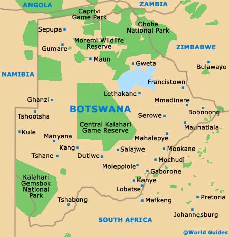
In total, there are ten main districts of Botswana - the Central, Ghanzi, Kgalagadi, Kgatleng, Kweneng, North-East, North-West, South-East and Southern districts. Wherever you are based or headed, a selection of maps are a sensible item to bring with you.
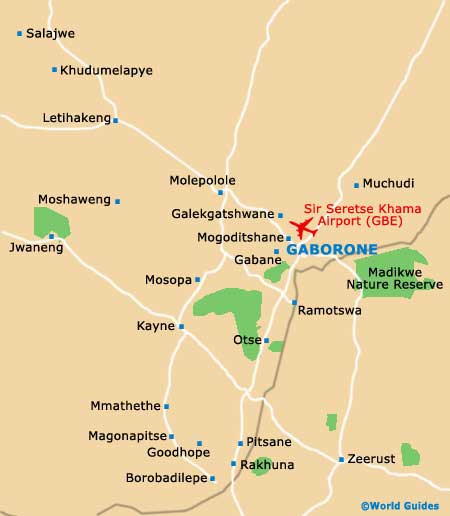
Gaborone is Botswana's proud capital city and resides within the South-East District, where it is located alongside the Notwane River and between both the Oodi Hills and the Kgale area. Much of the focus of Gaborone has become its wealth of shopping centres, and there is no real Central Business District to speak of as such. Important government offices and ministries tend to be concentrated around the Government Enclave, which is close to the
Main Mall.
- Angola - north-west
- Namibia - east
- South Africa - south / south-east
- Zambia - north
- Zimbabwe - north-east
Continent Map of Africa

Map of Botswana
Map of Gaborone