Malawi Maps and Orientation
(Malawi, MW, South-East Africa)
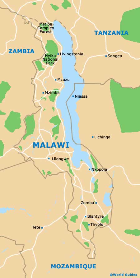
The Republic of Malawi lies on the south-eastern side of
Africa and for many years was named Nyasaland. Malawi is a landlocked country, bordering Mozambique, Tanzania and Zambia, and has a total population of around 15 million people.
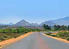
A large proportion of Malawi is quite elevated and these highlands experience a moderate climate, with higher temperatures being expected within the lower Shire River Valley area, to the south of the city of Blantyre. The famous Great Rift Valley dissects the country, heading north to south, with the attractions of
Lake Malawi lying on the eastern side of the valley. On the southern side of the lake, the Shire River heads southwards, ultimately joining the Zambezi River.
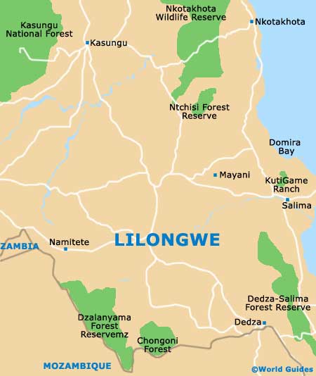
Maps and Orientation of the Country
If you are planning to do some driving in Malawi, wherever you are staying, maps are essential, with 4WD being required along many roads. In general, the country is divided into three distinct regions, shown below with their respective cities:
Northern Malawi
Chitipa, Luwawa, Mzimba, Mzuzu, Nkhata Bay, Rumphi and Karonga
Central Malawi
Lilongwe, Dedza, Kasungu, Mua, Nkhotakota, Mchinji, Salima and Senga
Southern Malawi
Blantyre-Limbe, Cape Maclear, Chikwawa, Mangochi, Monkey Bay, Mulanje, Nsanje, Thyolo and Zomba
The following countries surround Malawi:
- Mozambique - east / south / south-west
- Tanzania - north / north-west
- Zambia - west / north-west
Continent Map of Africa

Map of Malawi
Map of Lilongwe